Thanks for visiting us at SAF!
DARS (Data Analytics and Remote Sensing) is a forestry analytics company near Olympia, WA. We turn UAS drone imagery into tree counts, stocking maps, TPA analysis, and GIS reports for silviculture teams and consulting foresters. Below is an overview of what we do.
Let's Stay in Touch
Drop your info below and we'll follow up with how DARS can support your forestry work.
Research
Published validation of our UAS-derived tree location and height methodology.
Remote Sensing Validation for Tree Location and Height in the Oberteuffer Research and Education Forest, Oregon
This peer-reviewed technical report validates the use of UAS-derived RGB imagery and Structure from Motion (SfM) analysis to accurately estimate individual tree locations and heights. Conducted at Oregon State University's 113-acre Oberteuffer Research and Education Forest, field measurements showed UAS height estimates within +/- 5% accuracy (R² = 0.95). The full study was completed at less than $10/acre.
Authors: Joe Roush (FHP), Michael Roush (DARS), Jacob Callahan (DARS) · Technical Release 25-TR-24 · October 2025
Download ReportUse Cases
Examples of how we apply remote sensing and GIS analysis to real forestry challenges.
Resource Guide (Coming Soon)
A comprehensive reference for foresters and arborists building or expanding a UAS program.
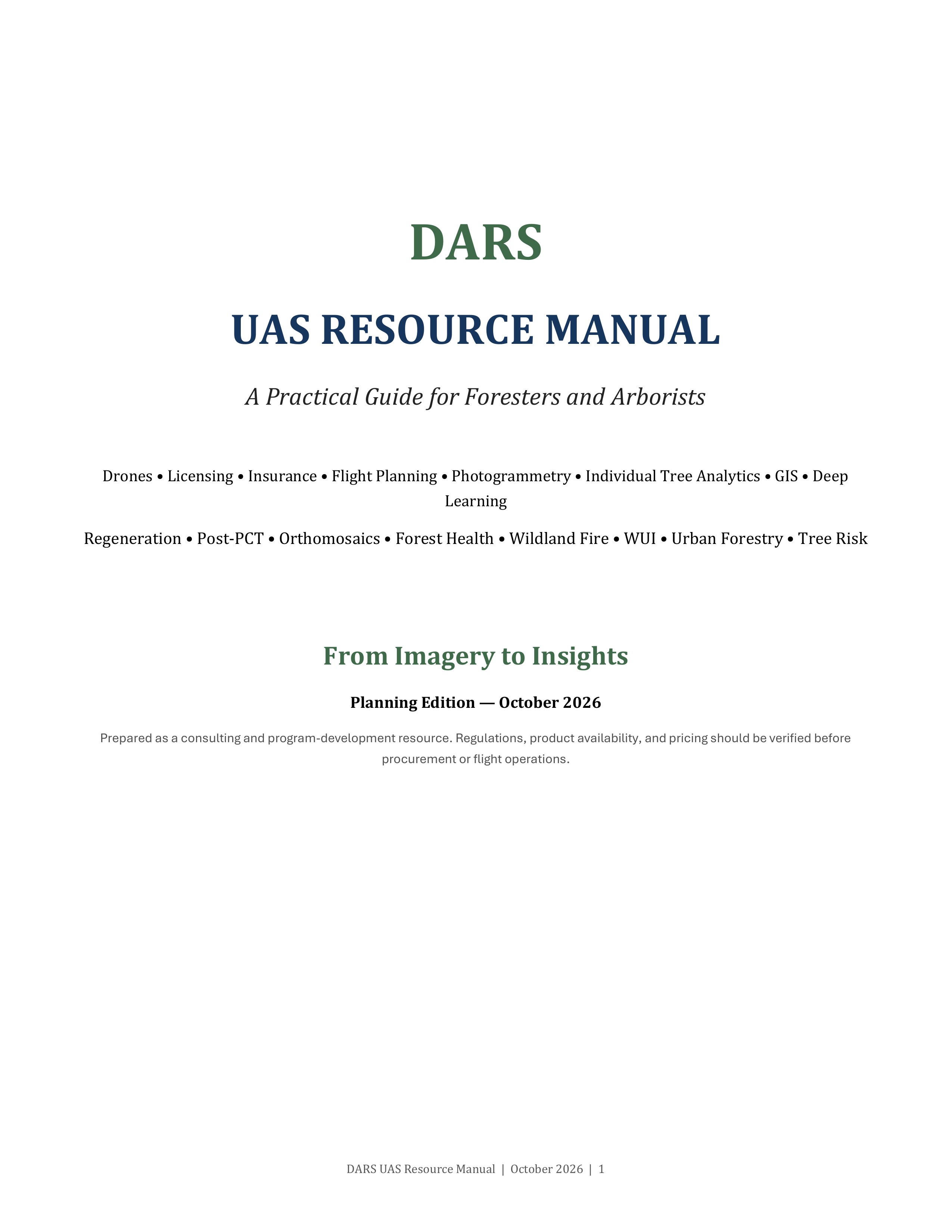
DARS UAS Resource Manual
A practical guide covering everything from FAA licensing, insurance, and equipment selection to flight planning, photogrammetry, individual tree analytics, and GIS workflows. Includes use-case breakdowns for regeneration surveys, post-PCT assessments, forest health, wildland fire, WUI resiliency, urban forestry, and tree risk assessment, along with detailed hardware, software, and cost matrices.
Planning Edition, October 2026. Full guide coming soon.