Services
Practical tools. Forestry-focused support.
We Help You Build It
Drone & UAS program development, equipment, training, and SOPs
You don't have to become a drone or remote sensing expert. DARS can do it for you, help you integrate it, or help you build the capability yourself. We have the knowledge and expertise to assist with everything from training pilots, developing SOPs, mission planning, and software and hardware recommendations.
Who It's For
Consulting foresters, small forestry firms, tribal forestry programs, conservation districts, and agencies looking to start or strengthen a UAS program.
We Help You Get the Most from Your Imagery
SfM processing to turn standard RGB imagery into actionable forestry information
Have your own drone but want to get more value from your imagery? We use SfM (Structure from Motion) analysis to turn standard RGB imagery into actionable forestry information such as individual tree locations, stand density, and tree heights. The result is more than just a map. It is practical, GIS-ready information that helps foresters make more informed management decisions.
Who It's For
Industrial timber companies, TIMOs, silviculture managers, and consulting foresters working for small to large landowners.
We Stay with You When the Data Gets Complicated
From mission planning to final reports, with ongoing support through our client portal
We're here to support you every step of the way, from mission planning to final reports. Our client portal makes it simple and easy for you to upload and download data directly from our secure cloud-based platform. The size and scale of remote sensing data can quickly become overwhelming. Whether you want to set up your own drone program or prefer not to build this capability in-house, we can fly it for you or help you connect with a certified drone pilot.
Who It's For
Anyone who collects imagery but needs help with analytics, processing, GIS, or data management.
Use Cases
Examples of how we apply remote sensing and GIS analysis to real forestry challenges.
Resource Guide (Coming Soon)
A comprehensive reference for foresters and arborists building or expanding a UAS program.
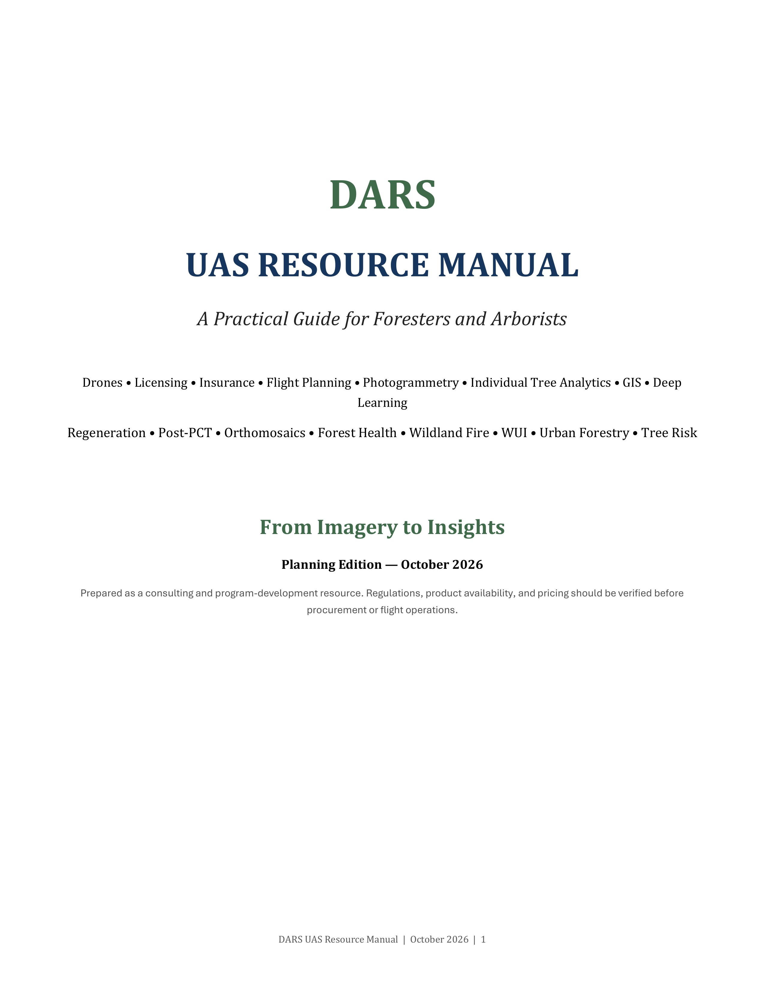
DARS UAS Resource Manual
A practical guide covering everything from FAA licensing, insurance, and equipment selection to flight planning, photogrammetry, individual tree analytics, and GIS workflows. Includes use-case breakdowns for regeneration surveys, post-PCT assessments, forest health, wildland fire, WUI resiliency, urban forestry, and tree risk assessment, along with detailed hardware, software, and cost matrices.
Planning Edition, October 2026. Full guide coming soon.