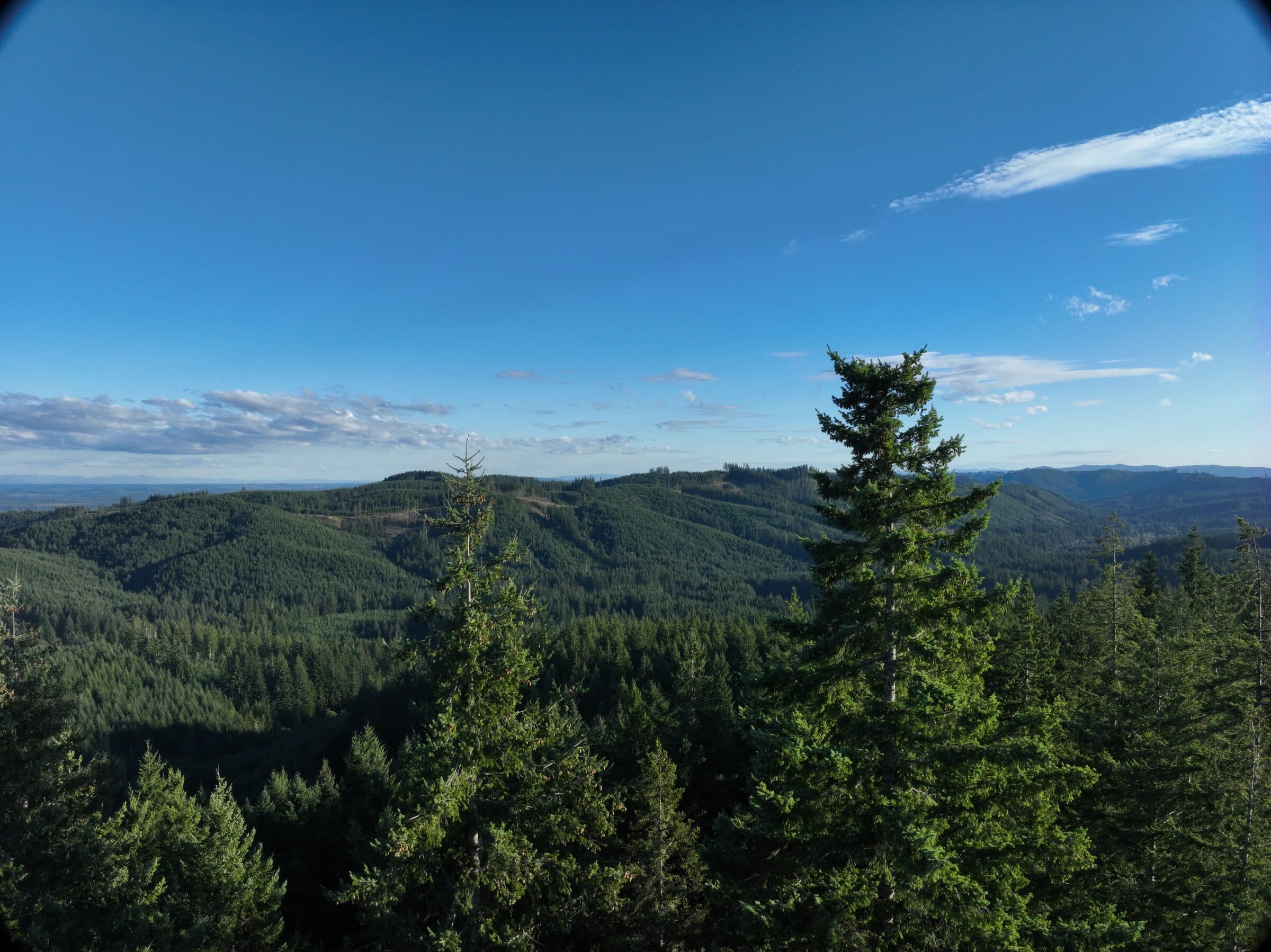
Industrial Forestry
Manage your timberlands at any scale.
Turn drone imagery of a stand into tree counts, height estimations, and tree density heatmap reports.
These reports integrate seamlessly into GIS and help keep your whole organization on the same page.
Consulting Foresters
Adding drones to your toolkit increases your potential and efficiency.
High-quality aerial maps enhance communication with a client and allow them to pinpoint specific trees on their property.
Getting an overview of a whole property allows for insights that may be missed from the ground.
Land Managers
High-resolution ortho maps can help you understand and manage an entire property.
Tree counts and height estimates can provide useful information about how the potential value of timber on a property grows over time.
Drones assist in documenting forest treatments and outcomes, improving communication with property owners.
We fly UAS within about 200 miles of Olympia, WA
We process imagery nationwide through our client portal